
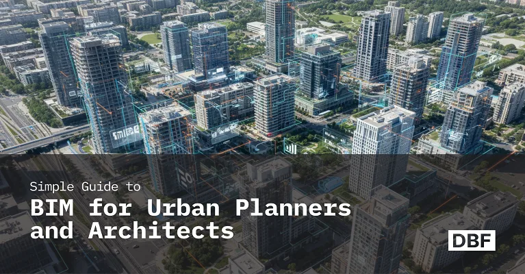
AI-Powered Planning and Design, for Better Project Delivery and Urban Developments
GET STARTED


PRODUCTS
Industries
Industries
© 2024 DigitalBlueFoam

Building Information Modeling (BIM) is revolutionizing how architects and urban planners design and manage cities. More than 3D modeling, BIM integrates data across a structure’s lifecycle—from planning to demolition. It offers enhanced visualization, real-time data, collaboration, and sustainability insights. While traditionally used in building design, BIM now applies to entire neighborhoods, transport systems, and utilities. Tools like Digital Blue Foam (DBF) simplify BIM for planners, offering browser-based modeling, zoning logic, and carbon analysis. Unlike GIS, which provides macro-level geographic data, BIM delivers micro-level building intelligence—together offering a complete planning solution. DBF bridges the gap between concept and implementation.
Urban planners and architects need to adjust to digital technologies that improve the way we build and manage built environments in a time when cities are expanding quickly and urban issues are getting more complex. Building Information Modeling (BIM) is one of the most revolutionary technologies in this field. Despite being historically linked to building construction, BIM is already changing the way whole metropolitan areas are planned and created.
This blog is intended for architects, designers, and urban planners who are interested in BIM but are put off by its technical aspects. Here, we'll go over the basics of BIM, how it works with planning processes, and how to maximize its potential with technologies like Digital Blue Foam (DBF).
.png)
3D modeling software is only one aspect of Building Information Modeling, or BIM. Fundamentally, BIM is a cooperative procedure that develops and maintains a digital model of a constructed asset over the course of its existence. Planning, designing, building, operating, and even demolishing are all included in this.
Unlike static CAD drawings, BIM models are intelligent. All of the model's components walls, windows, HVAC systems, etc. have data incorporated into them that describes their shape, physical attributes, cost, performance metrics, and maintenance schedules.
For instance, a school's BIM model is more than just a picture; it includes details like the classroom's dimensions, lighting, wall materials, projected energy use, and even impending repairs.
In the past, urban planning has made use of 2D maps, zoning laws, and spreadsheets. Although these technologies are useful, their scope and degree of engagement are limited. BIM offers a powerful alternative: dynamic, data-rich models that enhance planners' capacity to create, assess, and communicate ideas.
BIM is changing the planning process in the following ways:
View 3D models of how structures will interact with their environment. Recognize the effects of sunlight exposure, shadows, and skylines.
Create a single model that incorporates environmental elements, transportation routes, population density, zoning, and land use.
Instantaneously simulate the effects of new laws or infrastructure initiatives.
To cut down on miscommunications and enhance decision-making, involve engineers, architects, urban planners, and local authorities via a common platform.
Before building even starts, figure out energy use, carbon emissions, and heat island impacts.
BIM enables planners to comprehend a neighborhood's social, economic, and environmental performance in addition to its potential appearance.
GIS (Geographic Information Systems), which map and analyze spatial data, is already well-known to many planners. How does BIM stack up, then?
BIM gives micro-level data about individual structures and infrastructure, whereas GIS delivers a macro perspective of geography, zoning, utilities, and demographics.
Together, BIM and GIS provide a full picture—from a bird’s-eye view of the city to detailed simulations of individual assets.
"Isn't BIM for buildings only?" may be your first thought, but it's now being used for urban-scale projects. Some of the uses for BIM include:
Not every BIM program is made equally. Some are designed for engineers, while others are for architects. However, the following tools are now available to urban planners expressly to meet their needs:
.png)
Digital Blue Foam (DBF) is a cutting-edge design tool intended for preliminary planning. By combining massing, energy performance, daylight analysis, and zoning regulations into a user-friendly platform, DBF streamlines complicated modeling. It facilitates smooth export to other systems by supporting BIM file formats, such as IFC.
.png)
The industry-standard program for designing buildings and infrastructure is Autodesk Revit + Infra Works. Large-scale infrastructure visualization in a metropolitan setting is a specialty of Infra Works.
.png)
GraphiSOFT ArchiCAD is a well-liked BIM solution for architects, it facilitates open BIM workflows and collaboration.
.png)
Bentley Open Cities Planner is an excellent option for planners utilizing GIS and integrating BIM at the urban scale.
.png)
Although Esri City Engine is not a conventional BIM tool, it works well with BIM data for urban simulations and is perfect for procedural city modeling.
.png)
Despite its benefits, a lot of experts avoid BIM because of its high learning curve, technology requirements, or too complex processes. Digital Blue Foam (DBF) is unique in this regard.
DBF makes BIM more accessible by providing:
DBF helps bridge the gap between vision and implementation by enabling architects and urban planners to use the potential of BIM from the very beginning of concept design.
Architects and urban planners are being asked to make decisions more quickly, intelligently, and sustainably as cities become increasingly interconnected and complicated. Building Information Modeling (BIM) is becoming a fundamental component of how we design the urban fabric, not merely a tool for engineers and architects. BIM gives professionals the ability to go beyond static blueprints and embrace data-driven, real-time design for anything from modeling infrastructure networks to assessing the environmental effect of new constructions.
Zoning laws, public transportation, housing density, and green infrastructure are just a few of the disciplines that BIM can help urban planners integrate into a single collaborative model. This improves the clarity of stakeholder participation, the transparency of sustainability measures, and the resilience of long-term planning.
However, planners frequently feel overwhelmed by typical BIM technologies, particularly during the early conceptual stages.
Here's where Digital Blue Foam (DBF) truly shines. By offering a zoning-aware, aesthetically pleasing framework for quick city-scale modeling, DBF streamlines BIM. It becomes a little but effective addition to your planning process with features that include density, sunshine, and carbon metrics directly into your massing studies.
Adopting BIM offers you a competitive edge whether you're working with architects and engineers, planning a sustainable neighborhood, or assessing transit-oriented development. Additionally, you may utilize the power of tools like DBF without waiting till the end of the design process.
Start early. Plan smarter. Design the future with BIM and DBF.
A digital modeling approach called BIM incorporates comprehensive information on infrastructure and buildings. It facilitates better project coordination, simulation, and visualization for planners.
In agreement. In addition to individual buildings, BIM is increasingly used to model entire neighborhoods, transit networks, and urban infrastructure.
GIS works best for mapping and geographical analysis, whereas BIM focuses on architectural data and accurate design. When integrated, they create a powerful planning toolkit.
DBF is intended for early-stage urban planning. Without requiring a deep understanding of BIM technologies, it is web-based, simple to use, and incorporates daylight analysis, zoning logic, and carbon metrics.
