
AI-Powered Planning and Design, for Better Project Delivery and Urban Developments
GET STARTED


PRODUCTS
Industries
Industries
© 2024 DigitalBlueFoam

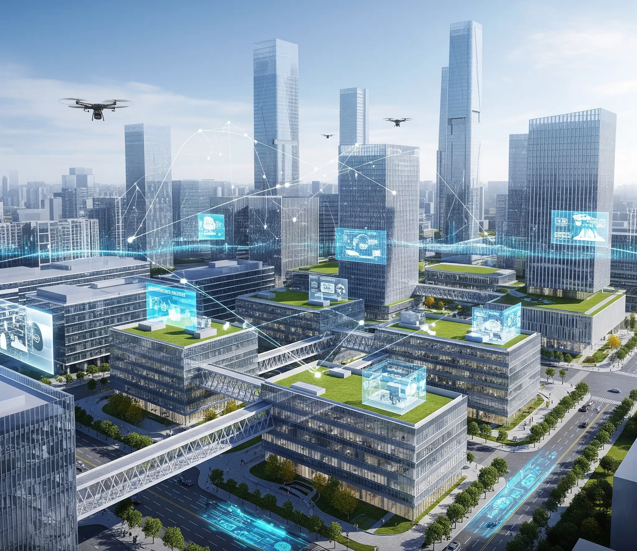
DBF Urban Insights boosts city development with AI-driven data, generative design, sustainability analytics, and collaboration tools for efficient cities.


City development projects are among the most complex undertakings in public infrastructure — requiring coordination across land use, transportation, utilities, zoning, density, and sustainability. Project leads are expected to validate growth scenarios quickly, often before detailed design budgets are approved. DBF's AI-powered city development platform enables decision-makers to generate, compare, and validate multiple urban growth scenarios in minutes — replacing manual GIS stitching and fragmented spreadsheet analysis.

Traditional city development workflows force teams to work linearly — site analysis, then capacity study, then land use planning — each step handled by different consultants. DBF collapses this into a single integrated workflow. Planning authorities can test 50+ development scenarios simultaneously, validating GFA targets, infrastructure demands, access networks, and sustainability KPIs before committing to any single direction.

Import site boundaries, zoning data, and GIS layers
Define program requirements: land use mix, density targets, infrastructure constraints
Generate multiple city development scenarios with AI massing and layout options
Validate each scenario against KPIs: access, density, sustainability, GFA
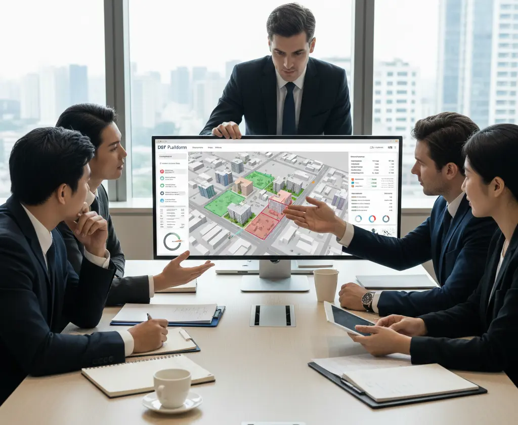
Compare scenarios side-by-side and export reports for stakeholder review
Hand off validated inputs to BIM teams for detailed design
.webp)


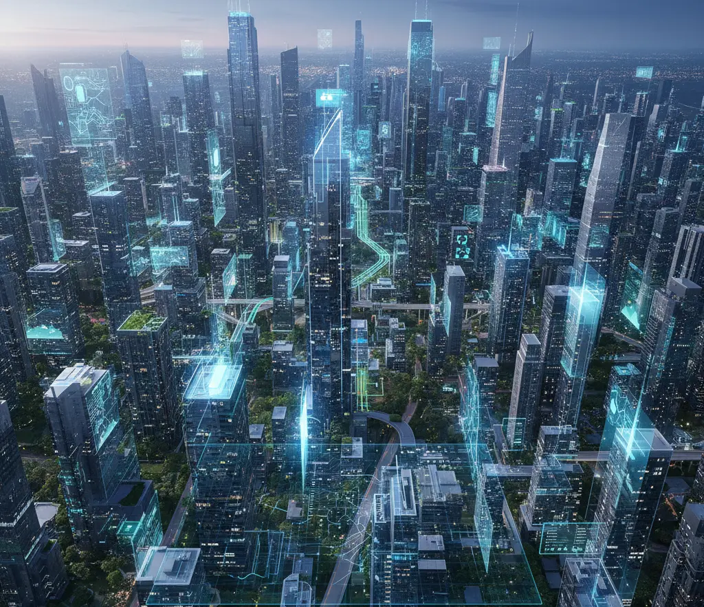
As cities face population growth, climate resilience demands, and net-zero mandates, city development planning must become faster and more data-driven. DBF's generative platform enables Planning Authorities to model resilient urban growth scenarios that balance density, sustainability, and operational efficiency — setting the foundation for smarter, more livable cities.
Software that automates urban growth feasibility by validating land use, density, infrastructure, and access scenarios before detailed design.
DBF generates multiple city development scenarios from requirements data, validates KPIs spatially, and produces traceable outputs for stakeholder decisions.
Yes. DBF integrates multi-source GIS and geospatial data into a unified feasibility workflow alongside BIM and CAD outputs.
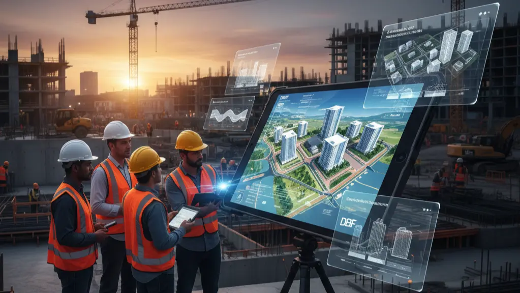
DBF is developed for pre-design use — from initial site identification through program validation and early massing, before BIM modeling begins.
In a short demo, you’ll generate options, compare scenarios, and walk through KPI reporting for your facility or masterplan context.
GET STARTEDGET STARTED